North as center
Instead of a spherical surface with an imposed projection, the flat-earth model works from a center. That makes east and west natural circular motions around that center.
In this model north is the center, light moves above the earth, and the outer rim does not act as the end of reason, but as the boundary of the known world.

This illustration is not meant as a final technical diagram, but as a summarizing form: a fixed earth below, water layers, heavenly lights above the plane, and an enclosing structure of heaven.
Instead of a spherical surface with an imposed projection, the flat-earth model works from a center. That makes east and west natural circular motions around that center.
In this reading south does not point toward an opposite pole beneath the plane, but toward the outer ring of the known land-and-water field.
East-west journeys are understood as circles around the center, not proof that a globe has been wrapped around.
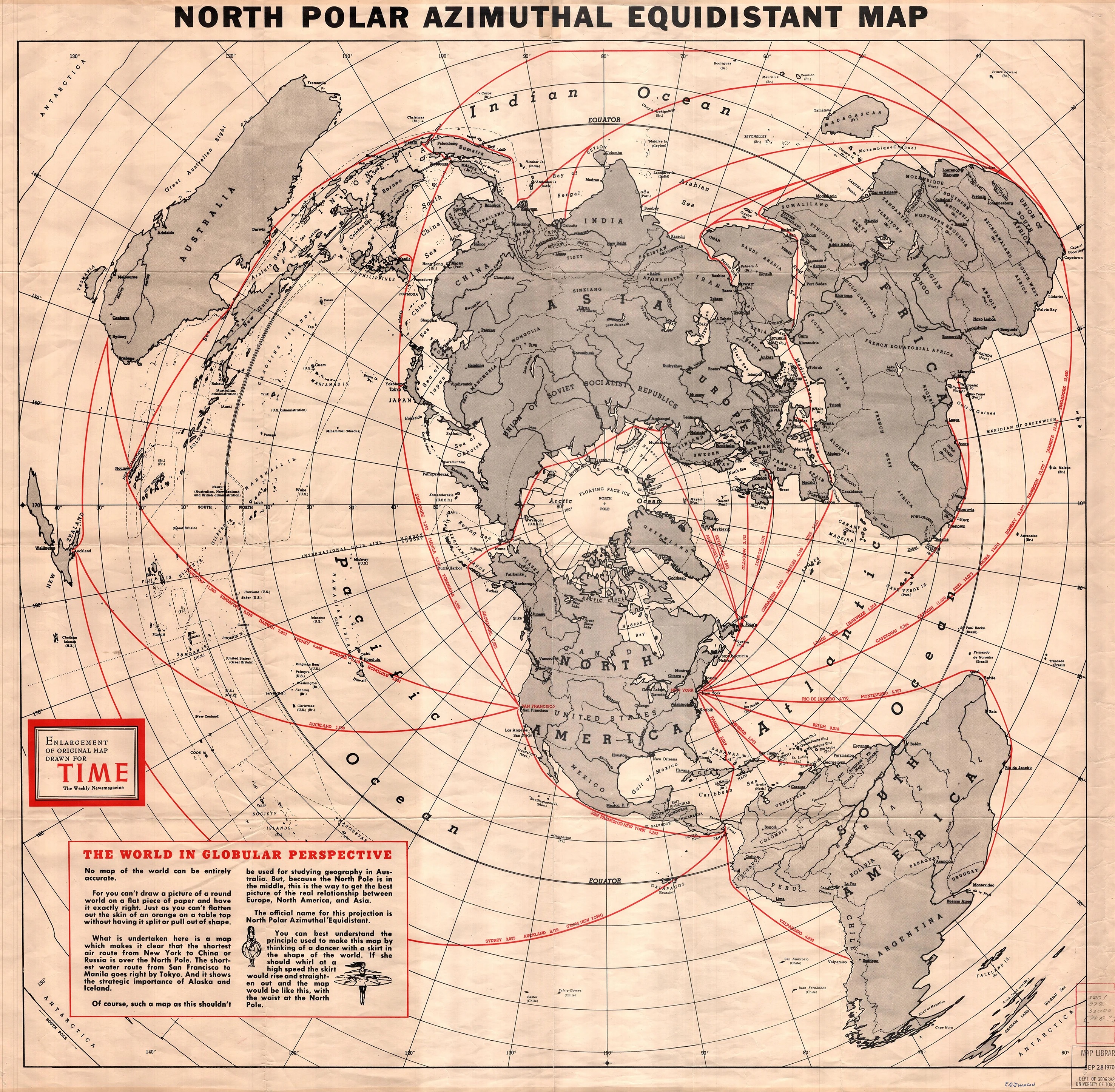
This public-domain map from 1950 shows how intuitive a north-centered projection can be: distances, routes, and ring-shaped motion take on a very different character than in the classic globe image.
Public domain · source listed in the atlas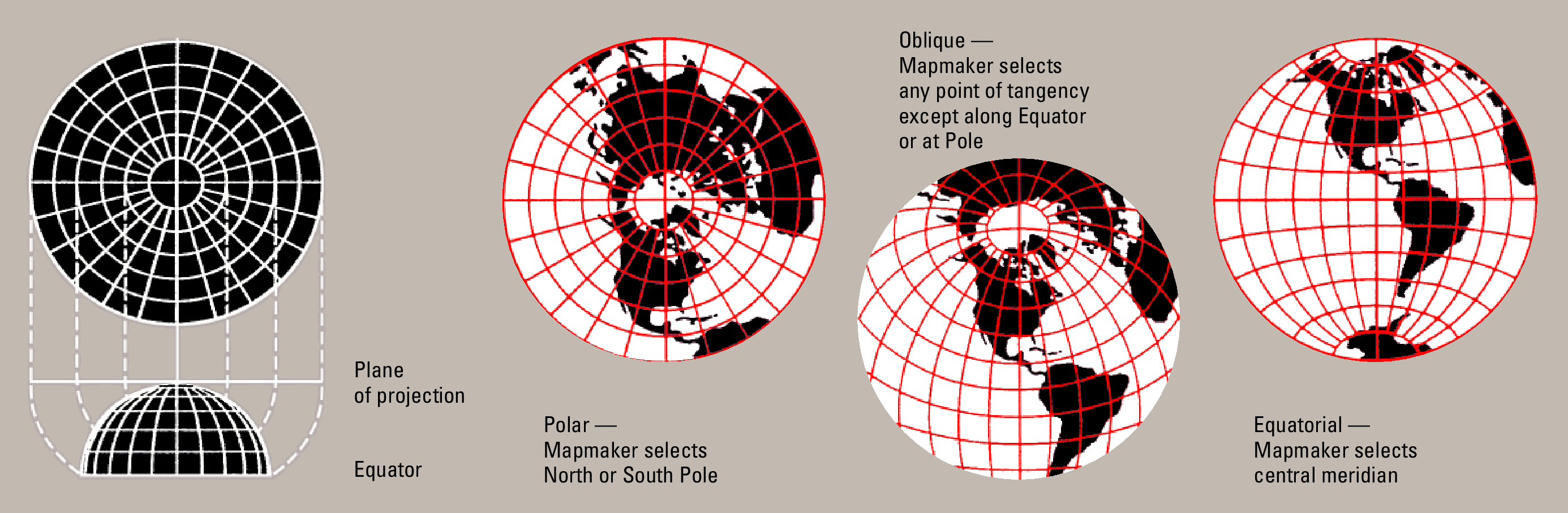
The USGS scheme is not a flat-earth proof in itself, but it does help show how a flat map logic organizes direction and distance differently than most people expect.
Public domain via the U.S. Geological Survey| Element | Function | Website framing |
|---|---|---|
| North Pole | Center of the map | Orientation and encirclement are read from this center. |
| Antarctic rim | Peripheral boundary | Represents the outermost limit of the known earth or its ice structures. |
| Sun and moon | Local lights | Move above the plane and shape day rhythm, season, and visible path. |
| Firmament | Enclosing order | Links the world plane to an upper, meaningful structure of heaven. |