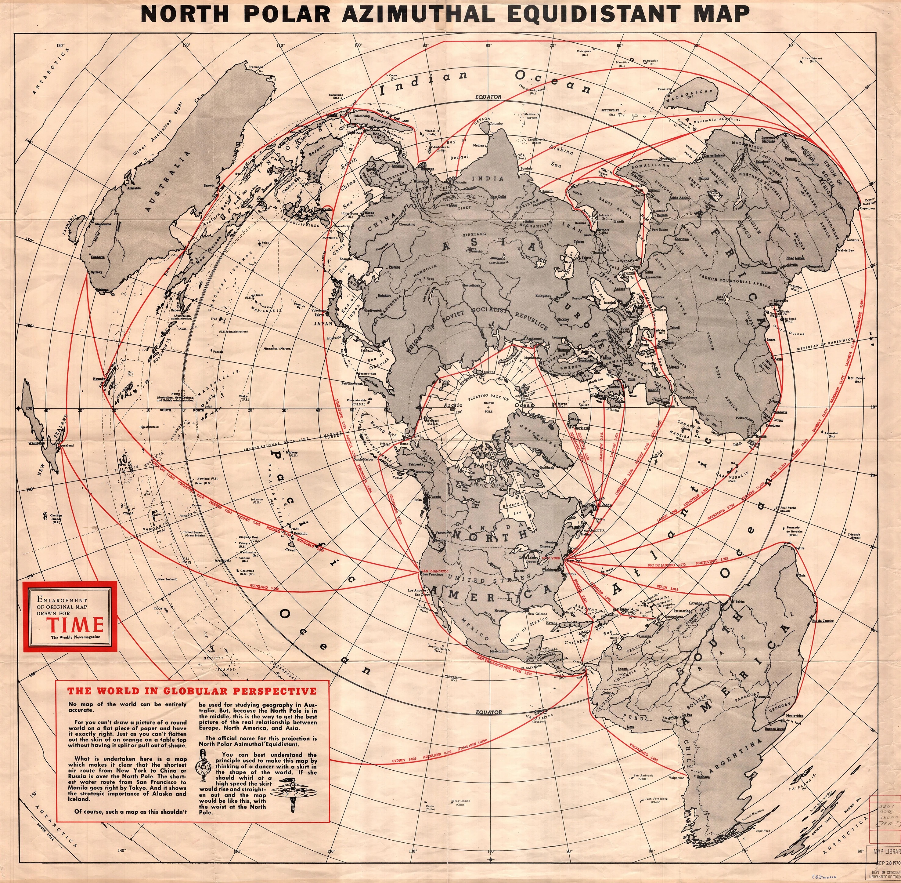
North polar Azimuthal equidistant map, 1950
Historic map from Time Magazine, later made available on Wikimedia Commons as public domain in the United States.
This atlas page shows the visual backbone of the project: historical projections, cosmological schemes, horizon imagery, and original illustrations.
Historic map from Time Magazine, later made available on Wikimedia Commons as public domain in the United States.
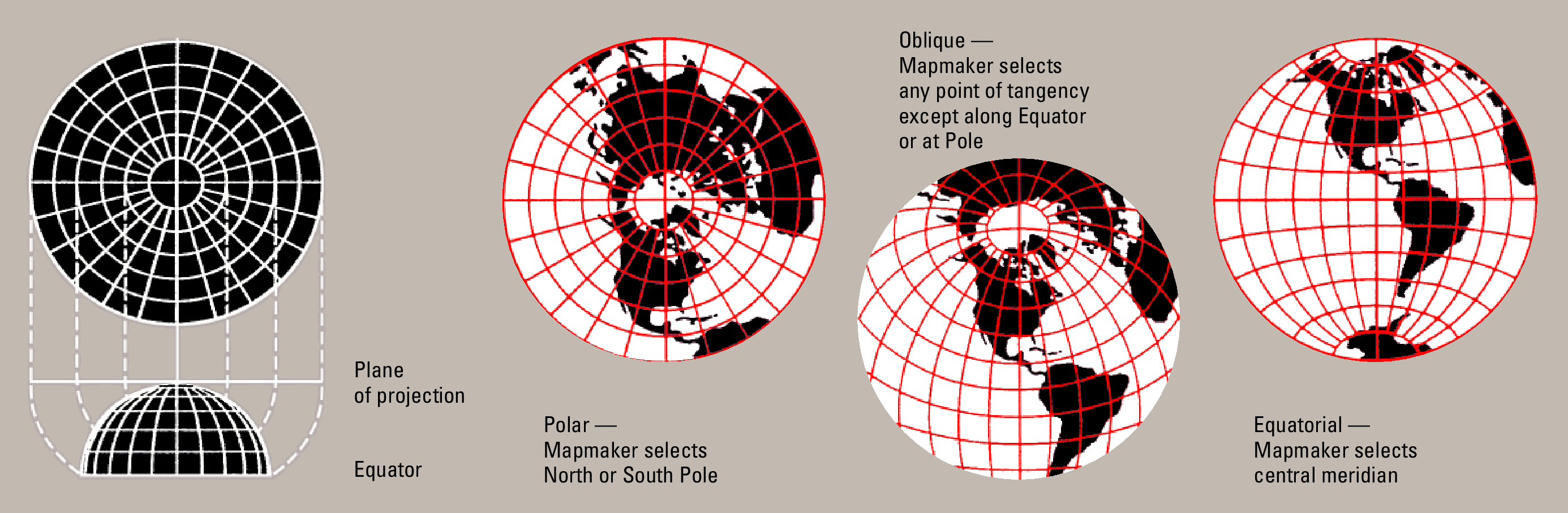
Didactic scheme that helps explain flat projection and central direction visually.
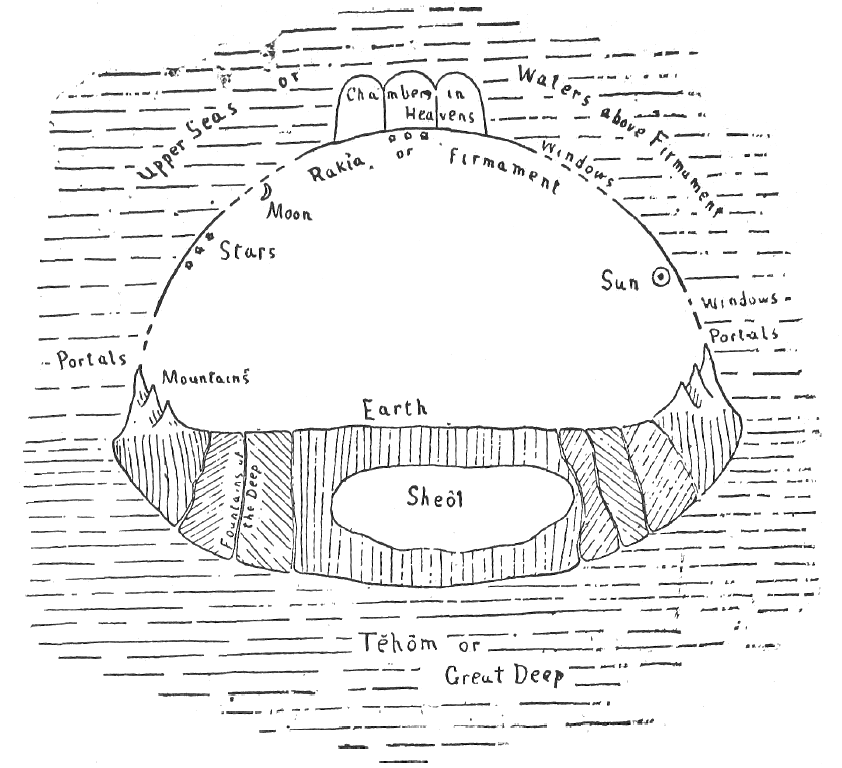
Historical visualization of a cosmos with waters, firmament, and a fixed earth.

A level ocean horizon that sets the tone for the home page and the observation page.
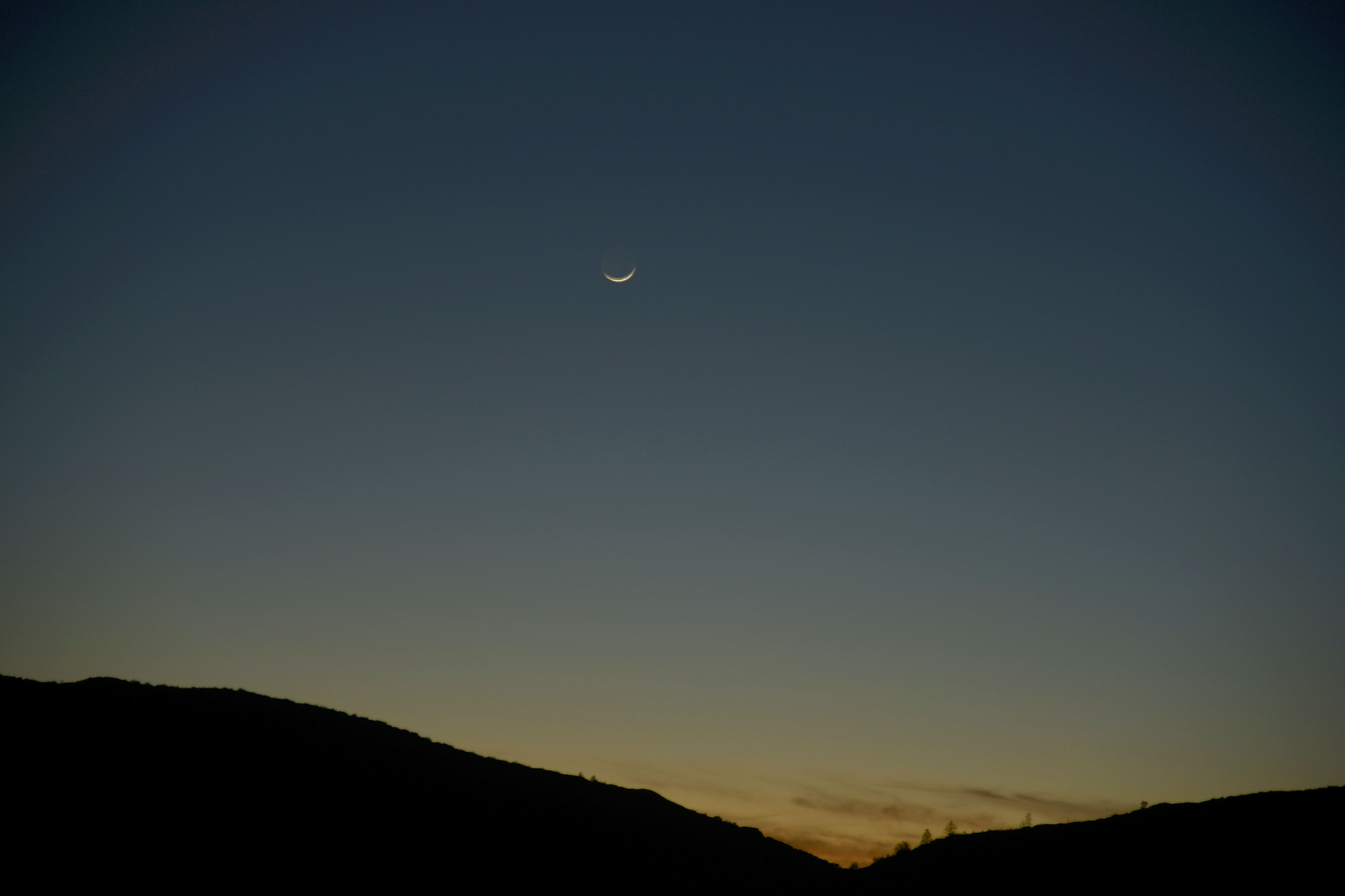
Public-domain image of a night sky that deepens the firmament atmosphere of the project.

Original compass illustration designed to reinforce direction, center, and cartographic identity.
| Image type | Purpose | Effect on the site |
|---|---|---|
| Historical maps | Cartographic credibility | Make the worldview tangible and less abstract. |
| Cosmological diagrams | Bind scripture and symbolism together | Help visualize the idea of the firmament quickly and strongly. |
| Horizon photographs | Call up direct experience | Bring the visitor back to the authority of the eye. |
| Original SVGs | Originality and consistency | Prevent the site from feeling like a standard template. |